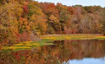
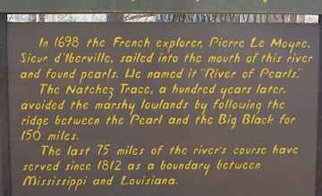
In 1698, the French Explorer, Pierre LeMoyne Sieur d'Iberville, sailed into the mouth of this river and found pearls. He named it 'River of Pearls'. The Natchez Trace, 100 years later, avoided the marshy lowlands by following the ridge between the Pearl River and the Big Black River for 150 miles. The last 75 miles of the river course have served since 1812 as a boundary between Mississippi and Louisiana.
River Bend
Natchez Trace
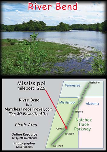
River Bend is located on the Natchez Trace Parkway at milepost 122.6.
-
River Bend Mississippi
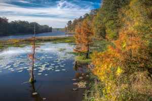
Photo Credit: Lane Rushing
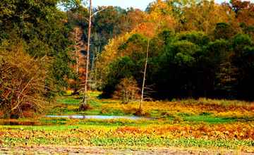
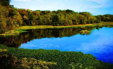
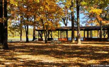
Scroll down the page to view more River Bend pictures!
More info about River Bend and similar sites.
- Approximate time to explore site: 10-20 minutes

- Latitude: 32.5850166
Longitude: -89.861133
Elevation (approximate): 308 feet
Milepost: 122.6 - Short, easy to remember URL for River Bend
bit.ly/ntt-riverbend - Merchandise (coffee mugs, stickers, T Shirts...) for River Bend
click here
Facebook User Comments about River Bend
