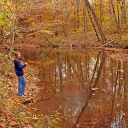
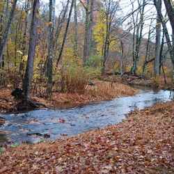
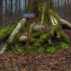
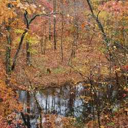
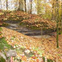
This small branch receives its name from the clean and fresh or sweet flavor of its water. Thousands of years of erosion and flooding have gradually built up the fertile bottom lands that you see under cultivation near here. The branch is still carving and shaping the valley. You may follow the struggle of trees and other vegetation to gain a hold in the shallow rocky soil of the bottom in a 15 minute stroll along the nature trail.
Sweetwater Branch
Natchez Trace
Sweetwater Branch is located on the Natchez Trace Parkway at milepost 363.
-
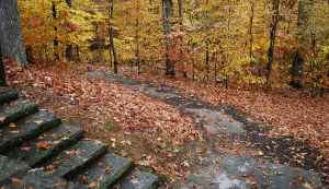
Scroll down the page to view more pictures!
